Nossos Serviços

Oferecemos serviços de topografia e aerofotogrametria com precisão e tecnologia de ponta.

Topografia

Realizamos medições precisas de terrenos, garantindo resultados confiáveis para seus projetos de construção.

An aerial view of rugged mountainous terrain with ridges and valleys clearly visible. Sparse clouds float above the landscape, casting shadows on the undulating surface below. The area features a mix of rocky outcrops and patches of vegetation, with variations in elevation highlighted by shadows.
Aerofotogrametria

Utilizamos drones e tecnologia avançada para capturar imagens aéreas de alta qualidade e precisão.

Resultados Confiáveis

Compromisso com qualidade
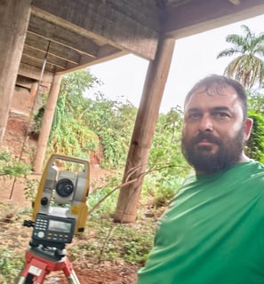
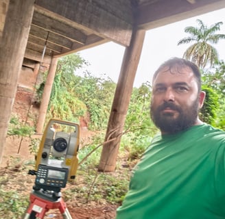
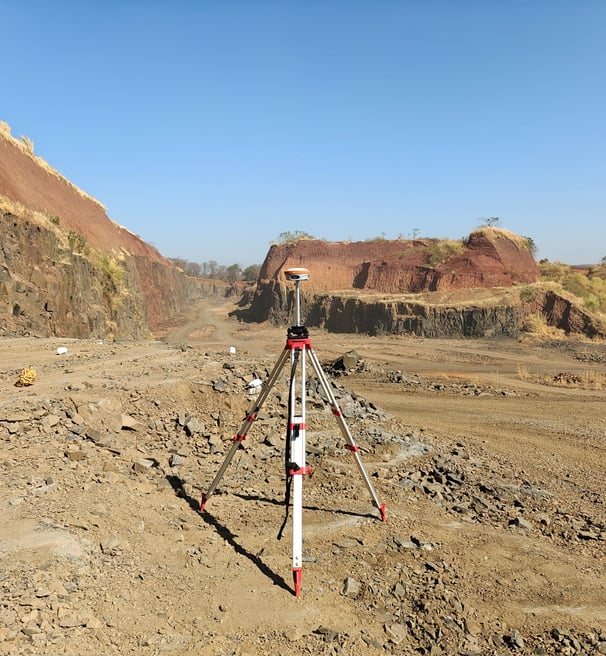
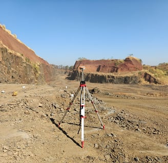
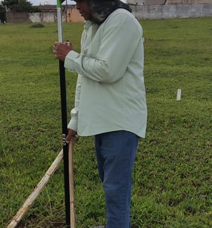
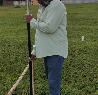
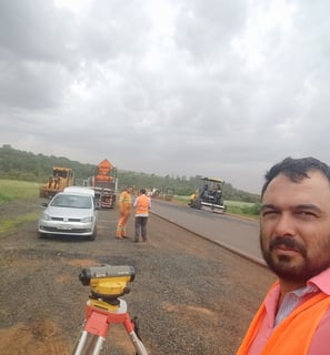
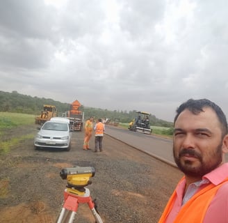
An aerial view of a vast, rugged terrain showing a combination of snow or ice-covered ground and brown earth. A geometrically shaped artificial structure, possibly a pond or mining pit, is visible, filled with liquid of different colors. There are scattered clouds casting shadows on the landscape below.
A grayscale aerial view of a landscape featuring numerous bodies of water, possibly lakes, scattered across a seemingly flat terrain. The horizon is visible in the distance with a subtle gradation in the sky.

Galeria

Explore nossos serviços de topografia e aerofotogrametria de qualidade.

An aerial view of a mountainous landscape with rugged terrain, valleys, and scattered roads. A plane's landing gear can be seen on the right side of the image, and a small body of water is visible towards the top right. The overall landscape appears dry and arid.