Grautop Serviços de Topografia e Aerofotogrametria

Resultados precisos e confiáveis para seus projetos.

Sobre a Grautop Topografia

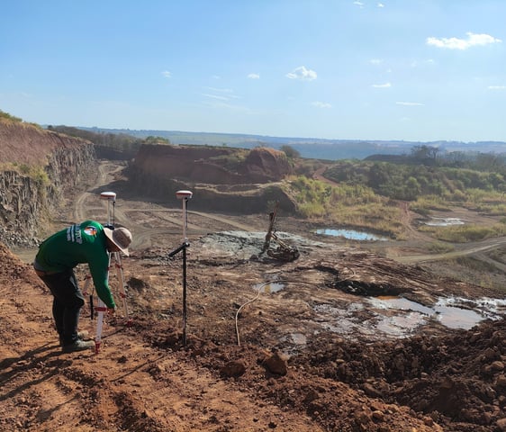
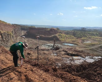
A Grautop é especializada em serviços de topografia e aerofotogrametria, oferecendo precisão e confiabilidade com tecnologia de ponta e uma equipe experiente para atender suas necessidades.

Serviços de Topografia

Oferecemos soluções precisas em topografia e aerofotogrametria para seus projetos e objetivos.

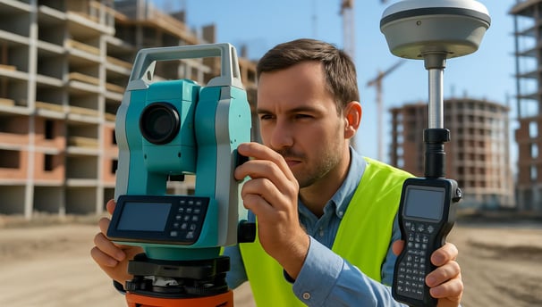
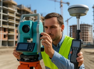
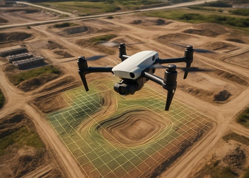
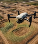
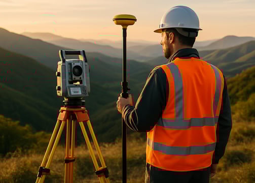
Topografia de Precisão

Realizamos medições precisas para garantir a qualidade e confiabilidade em seus projetos de construção.
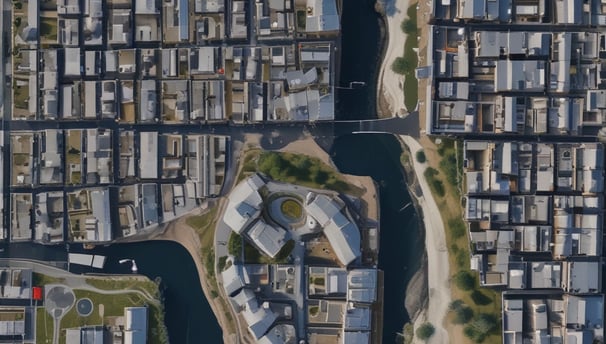
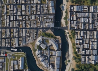
An aerial view of a vast landscape featuring a patchwork of fields, with variations in terrain, showing valleys and rivers. The land appears to be a mix of agricultural and natural areas, with roads and small buildings scattered throughout. The topography includes some elevated regions and woodland areas.
Aerofotogrametria

Utilizamos tecnologia de ponta para capturar imagens aéreas que facilitam a análise e planejamento.

Nossos Projetos

Explore nossos projetos de topografia e aerofotogrametria realizados.

A close-up black and white photograph of a detailed topographic map. The map features contour lines, place names, and various markings indicating geographical features. It appears to be held in a hand, positioned at an angle that highlights its texture and intricate details.
Topografia

Resultados precisos com tecnologia de ponta em topografia.

An aerial view of rugged mountain terrain with sharp ridges and valleys, partially covered by shadows and illuminated by sunlight. The terrain showcases a variety of shapes and patterns, with a gradient from light to dark as the landscape extends into the distance.
An aerial view displaying a landscape covered with scattered clouds. The terrain below appears to be mountainous, with a series of ridges and valleys. The image is in black and white, highlighting contrasts between clouds and land.
Aerial view capturing a landscape consisting of a coastline, small urban areas with grids of streets and houses, agricultural fields, and mountains partially covered in clouds. The image showcases differing elevations from the shoreline to the mountainous regions in the background. The lighting suggests it's either early morning or late afternoon, with a golden hue tinting the scene.
Aerofotogrametria

Serviços confiáveis para seus projetos de aerofotogrametria.